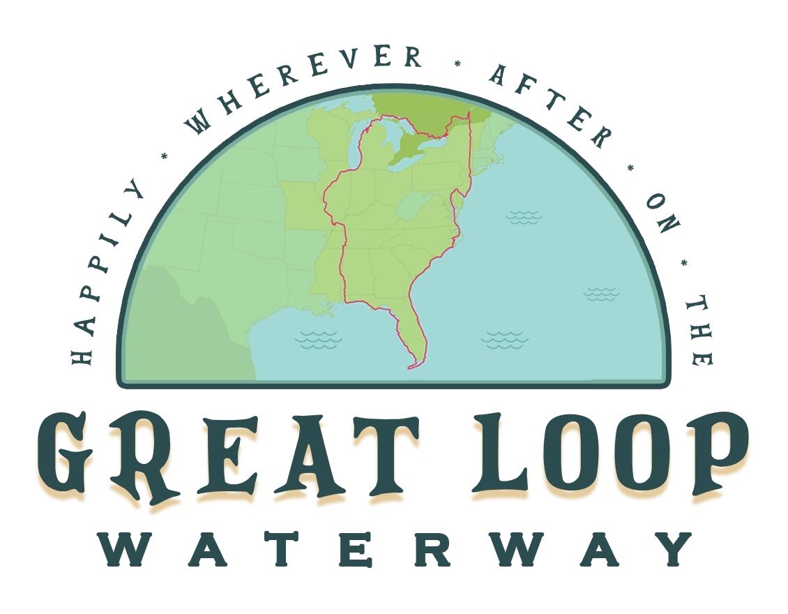

Great Loop Route Overview →
The Gulf Coast
The Gulf Coast route on the Great Loop primarily follows Florida’s west coast, known as the “Nature Coast.” Florida’s panhandle glitters with white sandy beaches, giving way to marshes and warm shallow waters as you round the Big Bend.

Gulf Intracoastal Waterway
— 350 miles
The Gulf Intracoastal Waterway (GIWW or GICW) is comprised of two noncontiguous sections; it runs from Brownsville, TX to Carrabelle, FL and from Tarpon Springs, FL (near Tampa) to Fort Myers, FL (the mouth of the Caloosahatchee River).
Most Loopers will only transit a small portion of the western GICW, traversing the Florida panhandle between Gulf Shores, AL (the mouth of Mobile Bay) and Carabelle, FL before deciding on the Gulf Crossing or Big Bend route.

The Big Bend of Florida
— 250 miles
In between the two dredged GIWW sections lies the Big Bend of Florida, also known as the “Nature Coast.” This section has large areas of shallow water and is transited not by hugging the coast line, but by bumping out ~25 miles into the Gulf before returning to shore to moor. Popular stops include Steinhatchee, Cedar Key and Crystal River.
Alternate Route
Loopers may choose to bypass this section with a different route – the Gulf Crossing.

Gulf of Mexico
— 200 miles
After crossing Mile 0 of the Gulf Intracoastal Waterway at Fort Myers, FL, Loopers make their way down the remaining west coast of Florida to the Florida Keys. The last key, Key West, is the southernmost point in the continental United States.
Alternate Route
Instead of cruising around the tip of Florida, Loopers can bisect the state from Fort Myers to Stuart via the Lake Okeechobee Waterway.
← Inland Waterways
Leave a Reply