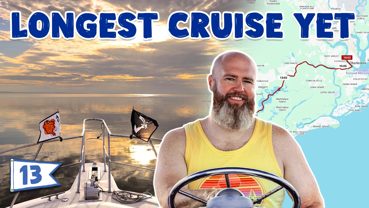
We cruised for over 60 miles!
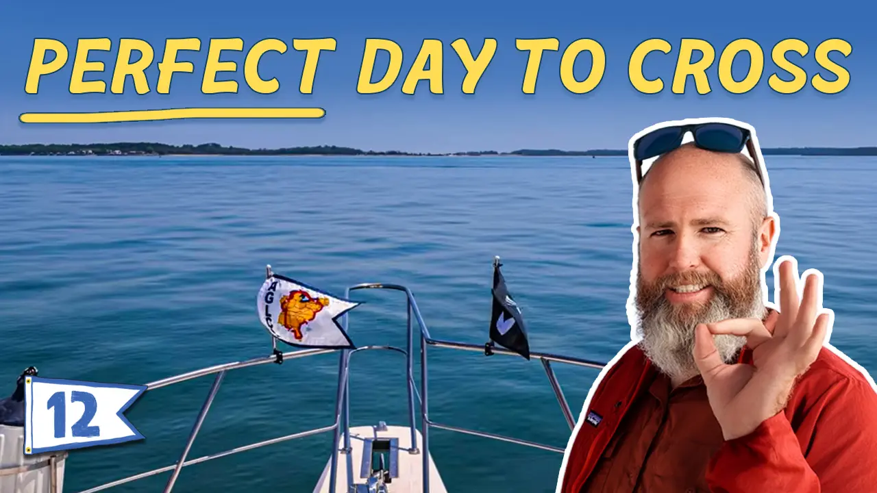
We’re keeping an eye on the weather because the Albemarle Sound crossing is coming up. It’s a 16-mile, or 2.5 hour, crossing so we’re making miles to get in place to cross in some mild weather.
We leave Swansboro, cross the Bogue Sound and head into Morehead City, North Carolina. We cruise past Beaufort, across the Neuse River and up to Hobucken before dropping the hook at the mouth of the Pamlico River.
Video Transcript
In this video, we almost run aground, we watch a boat wake a barge so hard it pops some lines, we cross some big water, and we have a wonderful time.
How’s it feel down there? It’s cold. Cold this morning. It’s just so windy.
[The depth finder] It said 4 feet one time.
I just saw 3′ 6″, so that’s one inch [below our boat].
Got enough clearance? Got enough clearance, Clarence?
That was a little sketch. The tide was dropping, so I knew that we needed to get out of there. We were a little bit in a rush this morning.
I didn’t even get any cuddles.
No cuddles, yeah.
What I had to do was when we got through into some skinny area, I put it in neutral because when I put it in drive, or in forward, the butt sits down a little bit. Just a little, but it’s six inches to a foot, something like that. I had to put it in neutral, so I’m going along and I’m like, oh, that’s shallow. Neutral, oh, that’s shallow. Two spots like that.
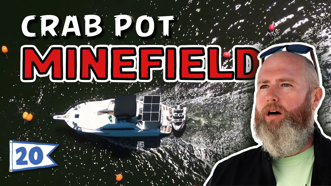
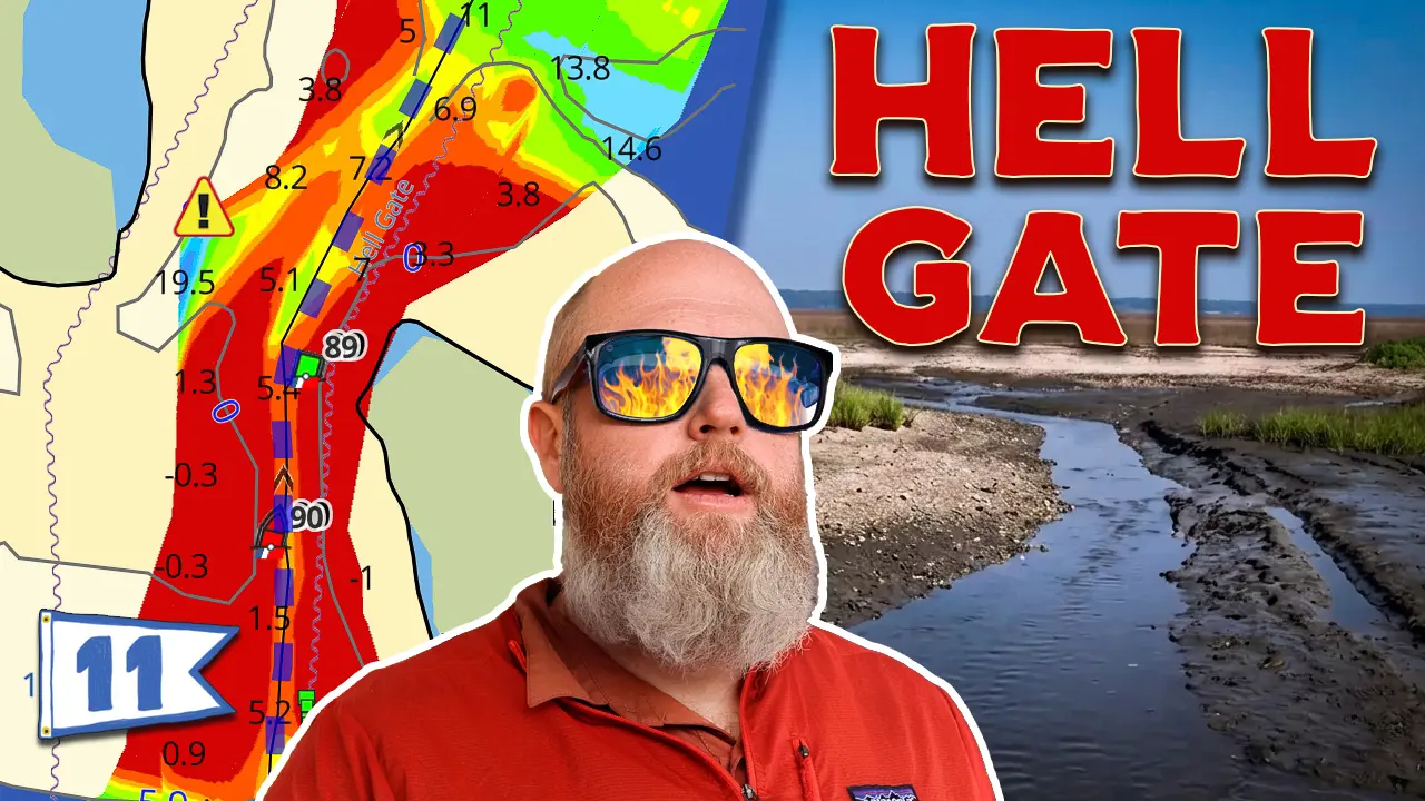
Some of the skinniest waters we’ve been in yet. I mean, our third time being in really skinny waters.
That’s where all the good anchorages are!
It is, man. You gotta get over the sandbars, whatever.
This is cruising day number 19. And I believe this is our 32nd day on the Loop. We traveled on day 30, sat around yesterday because it was supposed to be really bad weather.
We’re about to go into a sound, and it went from being pretty warm outside, nice and warm, to being cold. I think it’s a high of 50-something today. It’s not really that cold, but when you’re up here on the flybridge, which is our only place to drive from, and the wind is coming off the water, it is cold.
You’ll see I’m wearing double layers up top, triple layers on the bottom. I got wind pants on, sweatpants and thermals.
Oh, what’s that?
This is a heated blanket. It’s the best Amazon buy yet. Pulls almost no power. It’s 100 watts or something. Nothing. It’s really nice.
We got basically no solar all day yesterday and ElYse made pancakes for breakfast. She warmed up some soup in the microwave for lunch. She baked some cornbread for lunch yesterday. All electric cooking on a nasty day. And we’re still at 50%. So that’s pretty nice.
Now that we’re cruising along, our DC-DC’s should be filling us back up.
We’re currently in Swansboro, which was a cute little town. Definitely a fun town to go into.
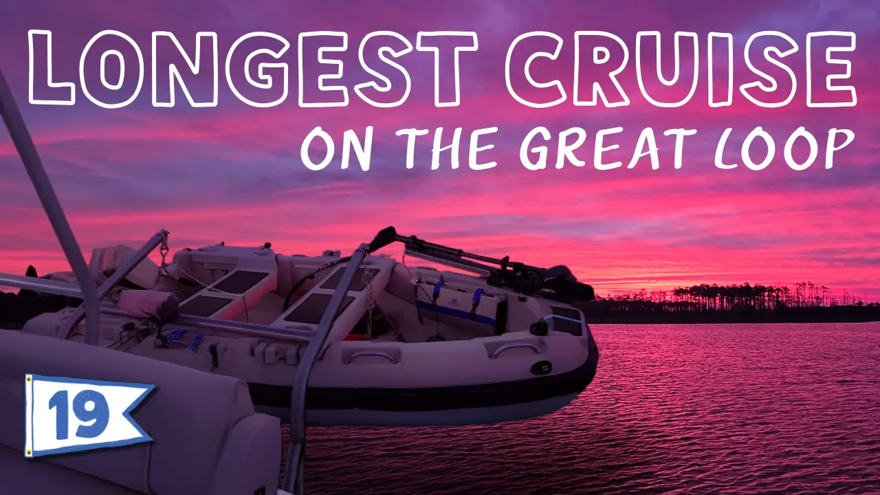
We’re shooting for our biggest day yet. 63 miles, actually almost 64 nautical miles. So a pretty good ways. It’s going to take us until 5:30 p.m. or so to get there. It’s a very long day, but we’ve got to go across a big sound and it’s going to be raining here the next few days.
Today’s the only halfway decent day, but it’s pretty overcast. We’re trying to get more inland because the ICW cuts in here after the sound we’re about to go into. Tide’s in our favor. Might as well take advantage of it.
It’s not too bad really. It’s just the wind is so cold on my skin. I don’t want to get wind burn. Been there, done that.
We’re almost out into the sound. You can see it. The way the winds are coming in, they’re not coming off of the Atlantic Ocean. They’re coming in across land.
Then we’ll turn in by Beaufort and head north. Then we have to go out into the Neuse River to get across this. Also, the winds are supposed to be good and the waves are good there. Hopefully stop somewhere around here. And then basically first thing in the morning, we’ll cross this little bit of the river. We’ll be inland again.
And then this is the Albemarle Sound. So hopefully tomorrow we can go through this. We would be getting there a little bit later in the day. But typically the winds are a little bit worse later in the day. Just how it works, you know, how like afternoon thunderstorms are a thing. Well, it’s kind of the same thing. As the day warms up, the weather changes, including the waves.
Probably just check tomorrow to see if we can make it through here. The goal is to make it to Albemarle Sound tomorrow.
We’re almost at the point where we have to decide if we want to take the Virginia Cut or the Dismal Swamp. The Dismal Swamp looks very much like the Waccamaw River, which was just gorgeous. The black water, the mirror effect on the water. That was one of my favorite cruising dates so far. All the cypress trees and it was just beautiful. So the Dismal Swamp does sound very appealing. However, it is a slower pace and we’re trying to make up some time.
The Virginia Cut is a little bit quicker. The main thing that’s kind of leaning us towards the Virginia Cut is we have twin engines and our props are our lowest point and they’re not protected. Since our engines are on the outside, if we were to hit a deadhead, or a log in the water, or something in the water like that, it could be a problem for us.
We do have one extra prop with us, but we definitely don’t want to have to try to change a prop somewhere, or get hauled out, or any of that. Currently we’re leaning towards the Virginia Cut, but if you’ve taken either one, let us know what your preference is in the comments.
The reason I say it would be especially bad for us because we have V-drives is that our engines are located in the cockpit, and then there’s a drive shaft that goes to the V-drive, which is located in our salon. We have to lift up our floors in the morning and check the V-drives. And there is a drive shaft between that that has a U-joint. It can adjust the pitch from the engine to the V-drive. Once you get to the V-drives, it is a straight shaft out. From the V-drive, it’s a straight shaft down and it goes through two cutless bearings and then our propellers. That’s a pretty long shaft.
If we were to run into a deadhead, it could bend the shaft, mess up the cutlasses or tweak them in some way. It could bend our propeller and throw the propeller itself off balance. Then it could be creating some type of vibration. The vibration is going to be transferred into the V-drive themselves, which over a long period of time, like cruising 5,000 miles, can cause the V-drives to have damage. We definitely don’t want to buy new V-drives. We just bought these!
There’s something about those that remind me of her. Everywhere I look, something reminds me of her.
We’re three hours in so far. We’ve gone 21.5 nautical miles. So we’re averaging over seven knots an hour, which is pretty nice. Normally we average like 6.3, 6.5, somewhere around 6.5 knots. And that makes a big difference over time. We’ve already gone 21 miles, we’ve got another 42 to go. About a third way through our day.
Our current ETA is 3:10 p.m., but don’t believe that for a second because we’re currently going 7.7 knots or almost nine miles per hour. There’s no way we’re going to keep that average up. I’m sure that we’re going to hit some current along the way that will slow us down or something. But for now, we appreciate the little boost that we’re getting from the tide and marching on.
That marker is known as a junction marker. It has horizontal banding. The top color is the main channel, which we’re in the ICW, the main channel. So it’s green for us. And the lower one is the junction or the smaller road that goes off of it. That was Russell Creek. And that was their red. It was our green.
It can be a little confusing if you’re not familiar with that. The ICW has little squares and triangles that are yellow. The triangle is always towards like the big mainland, and the square is always towards the ocean. Now, obviously that can be confusing. We have barrier islands and stuff like that. If you’re going north, the little squares, the yellow small reflective squares, which you can see at nighttime, are always going to be on your right. And the triangles will be on your left. And if you’re going south, it’s the opposite.
There’s multiple times along the ICW that the red and greens switch sides, but those little yellow triangles or squares stay consistent. If you’re not quite sure, look at the little marker within the big marker. Hopefully it has one on it.
We are halfway through our day. We’re about five hours in and we’ve done 33.7 nautical miles. Our current average is 6.8 knots. It dropped down from 7.1 to 6.8. We’re currently doing 6.3 knots. Our current ETA with 30 miles to go is 4:17 p.m. So we should be there somewhere around 4:30 p.m.
This will be our longest day yet. Over 60 miles. I think it’ll be 63 or 64. And so far it’s going good. It is 11:30 a.m. About to have some apples and cheese. We’re about to go out into a big open area, I guess, between this little cut. And we’re about to go out to, I think, the Neuse River, which will be a little bigger., like that last sound. And it’ll be windy again.
All right, we’ve been cruising for eight hours now. We just came through the Neuse River, and I have to say, at first, it was a little choppy. It was fine. Just a little bit of white capping, but not much. A little bit of spray over the bow occasionally, every few sets of waves. Overall, absolutely beautiful day to come through here. Once we pass Oriental, we’re going to head over to the Neuse River. We had to turn into the river that we’re on now. You can see it’s still very open and large behind us. I was worried that once we made that turn, that the winds were going to be on our starboard side, and we would be really rolly.
In fact, this trawler right here behind us, they went further out and then cut back. I think they were basically, what you’re doing is, they’re going directly into the winds. The winds are coming this way, and the waves are coming this way. So they’re going bow forward, and then I think they’re going past their turn so they could kind of come back with the winds and the waves. But we turned a little early because it calmed down so much.
I mean, now the flags aren’t even moving. It is, for a big body of water like this, it’s very, very calm. So overall, very pleasant.
I said I would join the Coast Guard if I knew that I would get stationed here.
Do you love this area?
It’s really pretty. I have to say at first, I was not impressed with North Carolina. Coming into such a busy, populated area, everybody was waking everyone like crazy but today has been absolutely beautiful.
So beautiful you forgot to eat lunch?
Yeah it’s a 3:20 p.m. and Elyse didn’t feed me, so I’m just up here slaving away, taking her wherever she wants, and she didn’t make me any food.
We eventually spilled into the Alligator River which is surrounded by wildlife refuges and protected coast. Although we didn’t see any swamp puppies we did read that they do live in the Alligator Refuge, and it’s about the most northern part of their territory. Pretty cool.
Another 9.5 hours of cruising and 64 nautical miles, we were exhausted and called it a night. If you enjoyed this video, be sure to hype it, leave us a comment, like it, do all the cool things, and we’ll catch you next week. Thanks for watching!
Video Chapters
- 00:00 – On the Hook on the Great Loop
- 00:19 – Leaving the Swansboro Anchorage
- 00:29 – Captain Laughing as We Almost Run Aground
- 00:46 – How To NOT Run Aground
- 01:08 – Skinny Waters Often Make Great Anchorages
- 01:18 – Cruising the Great Loop Aboard Swamp Puppy
- 01:58 – “The Best Amazon Buy Yet!”
- 02:10 – Our Yacht’s Solar System Performance
- 02:28 – Utilizing Our DC-DC Chargers after a Storm
- 02:39 – Our Longest Cruise on the Great Loop
- 03:15 – Boating the North Carolina ICW
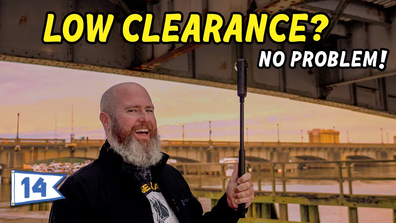
- 03:45 – Emerald Isle Bridge from the Water
- 04:06 – Planning Our Route on Nautical Charts (AquaMap)
- 05:07 – Cruising the Intracoastal Waterway through NC
- 05:34 – Virgina Cut vs. Dismal Swamp Comparison
- 06:35 – The Deciding Factor: Our Brand-new V-drives
- 07:37 – Crossing Bogue Sound, North Carolina ICW
- 08:05 – Cruising through Morehead City, NC
- 08:23 – Atlantic Beach Bridge from the Water
- 08:54 – North Carolina Port, Morehead City, NC
- 09:05 – Fellow Looper “At Last II” | Meridian 408
- 09:27 – Beaufort Railroad Bridge from the Water
- 09:38 – Beaufort Channel Bridge from the Water
- 09:46 – Captain Thinks He’s in “Naked Gun”
- 10:09 – 3 Hour Update from Captain Tom
- 10:57 – Boating Beaufort, NC
- 11:22 – Junction Marker / Preferred Channel Beacon
- 11:48 – Explanation of ICW Channel Markers (Triangles & Squares)
- 13:03 – Reminder For Us All to Watch Our Wake
- 13:24 – Core Creek Bridge from the Water
- 13:56 – Fellow Looper “Let’s go!” | Cruisers Yachts 4450 Express
- 14:18 – Halfway Update from Captain Tom
- 15:08 – Crossing the Neuse River on the Great Loop
- 16:30 – 360 Footage from Our Bow
- 17:30 – 8 hour Update from Captain Tom
- 17:51 – Tip for Cruising in Adverse Wind Directions
- 18:50 – Pirate Ship in Hobucken, North Carolina
- 19:06 – Hobucken Bridge from the Water
- 19:18 – US Coast Guard Station, Hobucken, NC
- 19:29 – “Today Has Been Beautiful!” – Captain Tom
- 20:57 – Goose Creek East Anchorage
- 21:14 – Our Cruise on Pamlico River
- 21:35 – Thanks for watching!
Leave a Reply