3 National Monument Anchorages in 2 Weeks!
We leave Cumberland Island, and cross through two large sounds, St. Andrew Sound and St. Siimons Sound, which can be dicey in bad weather. We cruise through the notoriously shallow Mud River (Jekyll Creek) before reaching St. Simons Island, and our destination: Fort Frederica National Monument.
Video Transcript
Good morning from the Great Loop, I’m Captain Tom and today we’re leaving Cumberland Island. We anchored two nights here near Cumberland Island and we absolutely loved it. All the trails and all the animals, it was just beautiful and it was actually quite chilly this morning. It’s funny because just a few days ago it was in the 80’s and this morning it’s 67 degress.
We’re setting out early, it’s 6:35 AM and low tide was about 10 minutes ago, so we’re leaving on a rising tide. From here, by the time we get to Jekyll Island and a few other spots where it’s going to be low, we’ll be approaching on a high tide. Worst case scenario, if we do have any issues, high tide is at noon and we’re only going about 37 miles today. We’re trying to head to Fort Frederica. Let’s get going!
All right, let’s pull up the anchor please.
We’re on the north side of Cumberland Island now, it’s on our starboard side, and we’re heading into the St. Andrew Sound. It is nice and quiet this morning, I think we’ve only seen one other boat go by, and we’re on a rising tide. It’s currently 8:28 AM, and the low tide was about 7 AM. We’re a foot above low tide now, and it’s rising. I think high tide is somewhere around noon. We’re about to go through the sound, according to the winds and everything (on the Windy app) it’s saying 5-7 mph winds, and 2 foot waves, so really nothing.
It’s been beautifully calm all morning, so we’re hoping we can take the direct route across St. Andrew Sound, and not have to take the westerly route. The reason that we want fair weather to get across St. Andrew Sound is because it’s a notoriously nasty crossing. Swell off the ocean, plus if you have any winds, you’ve got the tidal current going in and out, so it can just be a really nasty crossing, which is why there’s a westerly route that is more protected. A lot of people take the westerly route, which takes more time, it’s more fuel, it’s just a longer route to kind of wind through, versus just going straight across the sound.
We’ve reached the Cumberland Crossroads so to speak, we’re on the north side of the island, and we can veer towards our port, towards the west, and go towards the safe track, or we can go out into the sound, and I think that’s what we’re going to do. We’ve felt a little bit of swell here and there, but it looks absolutely gorgeous out there. We saw another ship come by that was out there, and it looked like it was doing good, so we’re going to go for it. We can always change our mind, turn around and go the safe route. We’re heading out!
Well, we’re out here, we’re making our turn. It was fine until we got pretty close to the buoys and then quite a bit of swell. Unfortunately, now we’ve got to turn the port, so we’re going to take some of the swell on the beam. It’s going to get a little rolly, but that’s alright, that’s how it goes.
We have about 5 mph winds, that’s almost nothing at the ocean basically, so I can’t even imagine 25 mph winds out here. It’s got to be brutal. And that’s why you wouldn’t come out here in those conditions! And also, we just went from going 5 knots, barely, fighting the current, and we’re instantly going seven. It’s crazy, because now we’re actually getting pulled back in. Pretty fun overall, would recommend.
Making it safely back in, we now have the swell pushing us in, it’s kind of fun when we’re surfing occasionally. We’re kind of going slow, and a wave will pick us up, and we’ll hit over 10 mph, probably going 7.7 knots. We’re going 9 mph, and occasionally a wave will pick us up and we’ll hit 10, so now we’re going 9.6, 9.5, 9.2, we’re kind of pulling off the wave, we’re going 8.8, oh, now it’s picking us up, we’re going 9.6, 9.7 miles per hour, just fun. So anyways, we’re making our way in, surfing the waves in, and honestly, the worst part about being out here was somehow, some random boat found a way to wake right beside us. Doesn’t matter where you are, someone will find a way to wake you. And so he went beside us, of course we’re in the channel, but he passed us, and he was throwing such a huge wake, literally that was the roughest thing that we experienced was that guy going by us really fast. Overall, very pleasant experience on a crossing the St. Andrew Sound, it was nice and calm.
It’s 10:45 AM, high tide is at around 1 PM today here, so we’re currently 4 foot above low tide. We are seeing 12.5 feet underneath our boat, and according to the charts, we’re in about 8 foot of water. Just taking it easy getting through here. Now we’re fighting the current unfortunately.
It looks like there’s a wildfire going on, it’s very smoky through here. We assume there’s a fire nearby, but we haven’t been able to find one just by looking online really quickly.
We made it through the worst part of Jekyll Creek, aka Mud River, and we’re almost out of it. I think we made it through most of the dangerous areas for today. I’m glad we made it through with no problems whatsoever, I think the lowest we’ve seen at any point was 8 foot, so I’m very happy with that.
We’ve got about 10 miles to go, about an hour and a half or so because we’re fighting the current, we’re only doing about 6 knots. Other than it being smoky, it is very beautiful out here, but wow is it super smoky right now. Must be a fire nearby.
We dropped the hook here at Fort Frederica, this is our third fort in the first two weeks of the Great Loop, and we’ll be staying on the anchor yet again. We’ve stayed two nights at a free dock at Sisters, and now this is our 12th night anchoring. No marinas so far, and that is our plan, we’re going to try to anchor as much as we can, hopefully all of it.
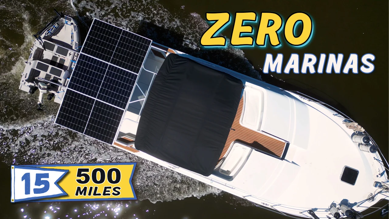
For those wondering how the solar system has held up, it has worked perfectly. We don’t have a generator, we’ve not had electricity, we’ve been on the Great Loop for two weeks now, and we haven’t been conserving electricity. When we arrived today at Fort Frederica about noon, our batteries were already at 100%. Turning the water heater on now, which will pull ~1600 watts, that will run for a good while until it gets hot, and then it will turn itself off. We can run this for 15-20 minutes until it gets warm, and then turn it off, and head to shore. When we come back, it will still be warm. We try to run the water heater near midday, or before, say 4 PM if we can, because the water will stay hot for a shower, and also we’ll have enough sunshine to basically refill the battery bank. By the time the sun starts to go down, our battery is still pretty much slap full. Our cooking is all electric, we removed our generator, we don’t have anything that’s not electric besides the propulsion, which is diesel. Other than that, everything uses electricity, and the solar panels have worked perfectly.
It’s really cool to be anchored right in front of the National Monument, again. This is our third one being anchored right in front of. So cool. But Elyse just got done making some mac and cheese for lunch. Gonna eat that, drop the dinghy, go explore, and then chug on tomorrow.
How long do you think it’s going to take to get over to the monument? It’ll be a long ride. Oh, oh, I guess it won’t be that long. [laughter]
There’s old Swampy Chompy.
The Fort Frederica kayak launch isn’t the most ideal dinghy dock as it’s exposed to the mud two hours on either side of low tide, but it’s absolutely worth it to explore Fort Frederica National Monument.
We thought it’d be difficult to top our experiences with the feral horses on Cumberland Island, but Fort Frederica has its own magic. A huge town lived here, and although most of it’s gone except for the foundations, the park is laid out like streets were when the town was still occupied, so it’s easy to meander around the grassy areas, which are shaded by enormous live oak trees.
We frequently peeked out at Swamp Puppy throughout our walk along the bank, still impressed that we owned a boat… that is still floating.
In the early 1700s, Georgia was the epicenter of centuries-old conflicts between Spain and Britain. During this time, British General Oglethorpe established the colony of Georgia in the region between the British-ruled colony of South Carolina and the Spanish-ruled colony of Florida. His initial concept for the colony was as much a social experiment as it was a small town. The colonists were considered worthy debtors, who came to settle the land instead of going to prison.
Several years later, to prepare for a war between Spain and Britain over slavery, Oglethorpe built a defensive wall that surrounded the entire town and helped to give it its fort-like appearance. But the actual fort itself was a smaller building. It was made of tabby, which is a kind of concrete composed mostly of oyster shells. After several battles, including the Battle of Bloody Marsh, a regiment of British soldiers were able to successfully fight off a Spanish attack at the fort in 1741. But after Britain and Spain signed a peace treaty several years later, many settlers left the fort, and then a fire in 1758 destroyed most of what remained. The National Monument preserves archaeological remnants and foundations from the fort and the town.
I’m attempting to catch some red fish here in Georgia. Don’t know if it’s possible or not. Non-residence license was only $10 for a day, and then $3.50 for a day after that or something. So pretty cheap. But I’ve never really fished for red fish. I’ve never really fished in salt water other than going with, I think, two people who were familiar with the area. For inshore fishing, I’ve never done it. I’ve done scallops and stuff like that, but being from central Florida, it’s all bass fishing. I’ve fished for bass all over the state.
This is what I’ve got tied on. Allegedly, it’s a good fishing time, according to the fish calculators or whatever, it’s supposed to be good fishing time right now. I don’t even know how to work this thing. Should I jig it, you know? Work on the bottom, or should I just reel it back to me? I have no idea. I’m used to bait casters as well, so using a spinning rod is a little different. I’ve used plenty of spinning rods, don’t get me wrong, while trout fishing.
The current is ripping through here, so I’m just facing into the current with a slow trolling motor. I’ve got it set to number two, so I’m just kind of guiding myself along in about six foot of water. I just saw something over there splash, and it’s in a similar location to where I’m fishing relative to the bank. So maybe I’m in the right spot. I have no idea. Right in the mud.
Oh, there’s a creek. I see a creek on the map, so I’m gonna go over there and get out of this big river. Let’s see how that works.
We’re at this little creek and there’s an egret. A great egret, white one. I know that typically where there’s birds, there’s fish, right? They’re out hunting. All right, look how pretty that is though. Finally got something around this dock. Check it out. It’s pretty. I’m gonna let him go.
Well, I’m happy that I got one. I’m about to head back because the sun is getting a little low. It’s 6:52 PM and I know the sun sets in the next hour. I’m gonna start heading back because I got a good little ways to go before I get back and then I gotta put the dinghy back on Swamp Puppy so that we can take a little bit of a ride tomorrow.
If you have any tips for red fish, let me know. I’m glad that I got that one. I would guess it was about 17 inches just based on measuring lots of fish over the years. Probably something like that. It was pretty skinny though. I keep seeing splashes all over, but I haven’t had any luck. That was the only bite that I got and I caught the fish. I guess my instincts were correct to come up the creek and I fished some of those docks. They had some oysters around them and that’s where I got them at. All right, let’s head back.
As always, thank you so much for watching and if you’re not already, please subscribe to our channel and like this video and stay tuned for next one when we visit St. Catherine’s Island.
Video Chapters
- 00:00 – Leaving Cumberland Island National Seashore Anchorage
- 00:40 – Pulling up our Mantus 55lb Anchor
- 00:56 – Cruising along Cumberland Island, Georgia
- 01:13 – Cumberland Island Dinghy Dock Access
- 01:43 – EPIC Orange Sunrise on the ICW
- 02:02 – Manta Ray Breaching in the Gorgeous Sunrise
- 02:52 – Navigating Using Range Dayboards
- 03:11 – Drone Footage of our Loop Boat, Swamp Puppy
- 03:28 – Fun Shot of a Boat’s Reflection on the Water
- 03:57 – Captain’s Brief on St. Andrew Sound
- 05:24 – Sighting One Last Horse Before We Say Goodbye
- 05:37 – We’ve Reached the Cumberland Crossroads
- 06:09 – Crossing St. Andrew Sound on the Great Loop
- 06:19 – Little Cumberland Island Lighthouse
- 06:29 – Update from Captain Tom in St. Andrew Sound
- 06:39 – AquaMap Track Alongside Timelapse Footage of the Crossing
- 07:45 – We’re Surfing Out of St. Andrew Sound
- 08:12 – Wheeeeeeee, wheeeeeee, wheeeeeeeeee!
- 09:00 – Cruising “Mud River” AKA Jekyll Creek
- 09:10 – Laughing Gulls Fishing and Playing in Our Wake
- 09:33 – Jekyll Island Bridge, Georgia
- 09:43 – Helicopter Landing on Jekyll Island
- 10:11 – Update from Captain Tom; We’re Fighting the Current
- 10:42 – There’s a Wildfire Nearby
- 11:02 – We Made it Through the Worst Part!
- 12:02 – Crossing St. Simons Sound on the Georgia ICW
- 12:30 – Passing the Great Loop boat “Miss Genny”
- 12:46 – F.J. Torras Bridge
- 13:18 – Fort Frederica Dinghy Access
- 13:21 – We Can See the Fort!!!
- 13:31 – We Dropped the Anchor in Front of Fort Frederica National Monument
- 13:50 – How Our Boat Solar System is Performing
- 14:50 – It’s Really Cool to be Anchored RIGHT IN FRONT OF the Monument
- 15:06 – Mantus Dinghy Ride to Fort Frederica
- 15:25 – Exploring Fort Frederica National Monument on the Great Loop
- 15:56 – We Can’t Stop Staring at Swamp Puppy
- 16:06 – Fort Frederica’s History
- 17:13 – Go Fishing with Captain Tom!
- 19:45 – Tom Lands His First Fish in Georgia on the Great Loop!
- 20:53 – Heading Back to Swamp Puppy
- 21:22 – Now Tom’s Fishing on Swamp Puppy… He just can’t stop!
- 21:36 – Sunset at Fort Frederica, St. Simons Island, Georgia
Leave a Reply