Mooring Review →
Cumberland Island National Seashore Anchorage Review
Location
Cumberland Island
Georgia
Waterway
Atlantic Intracoastal Waterway (ICW)
Coordinates
30.758612, -81.475105


Read the CaptAin’s Log →
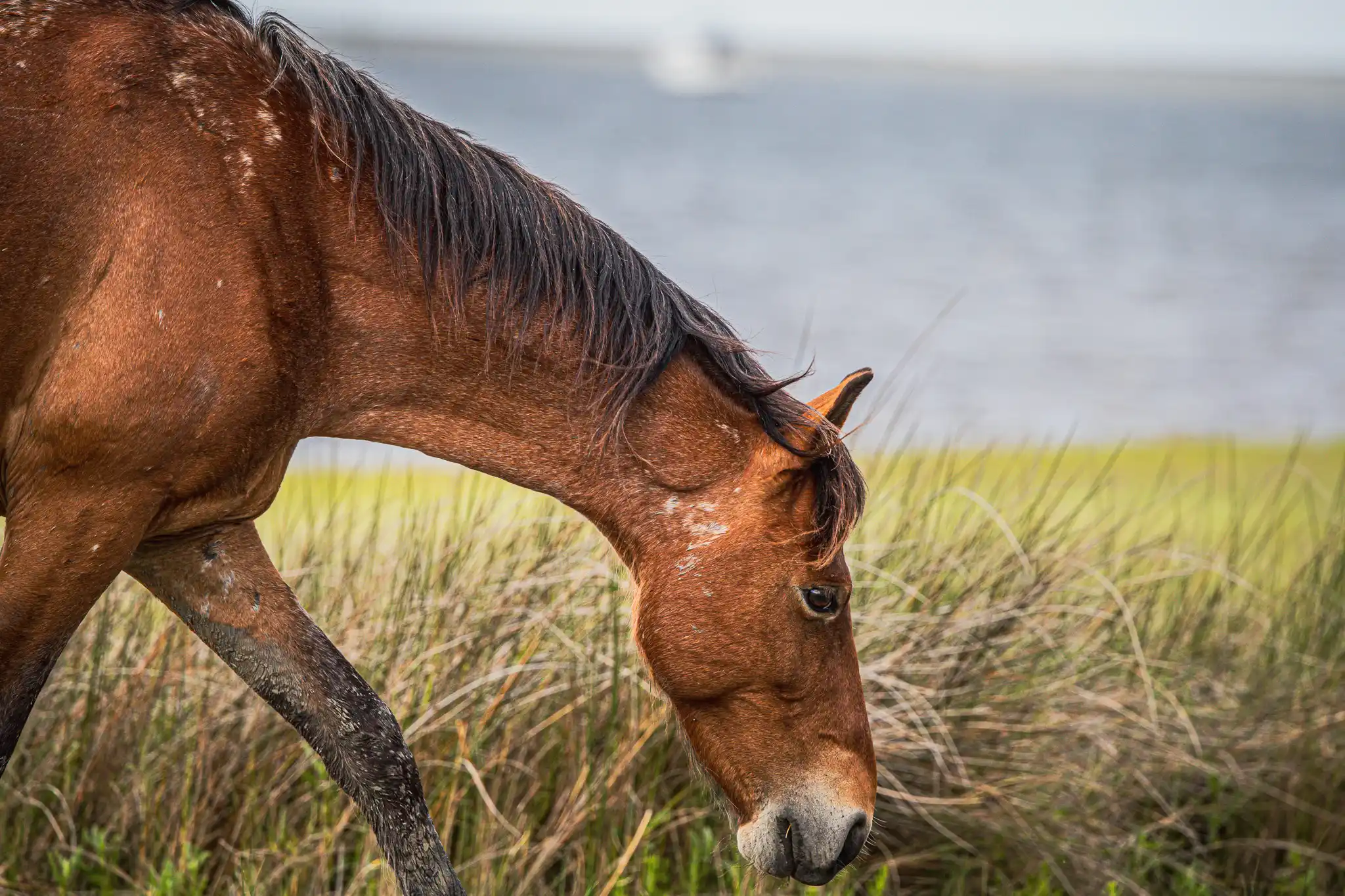
anchor by wild, wild horses

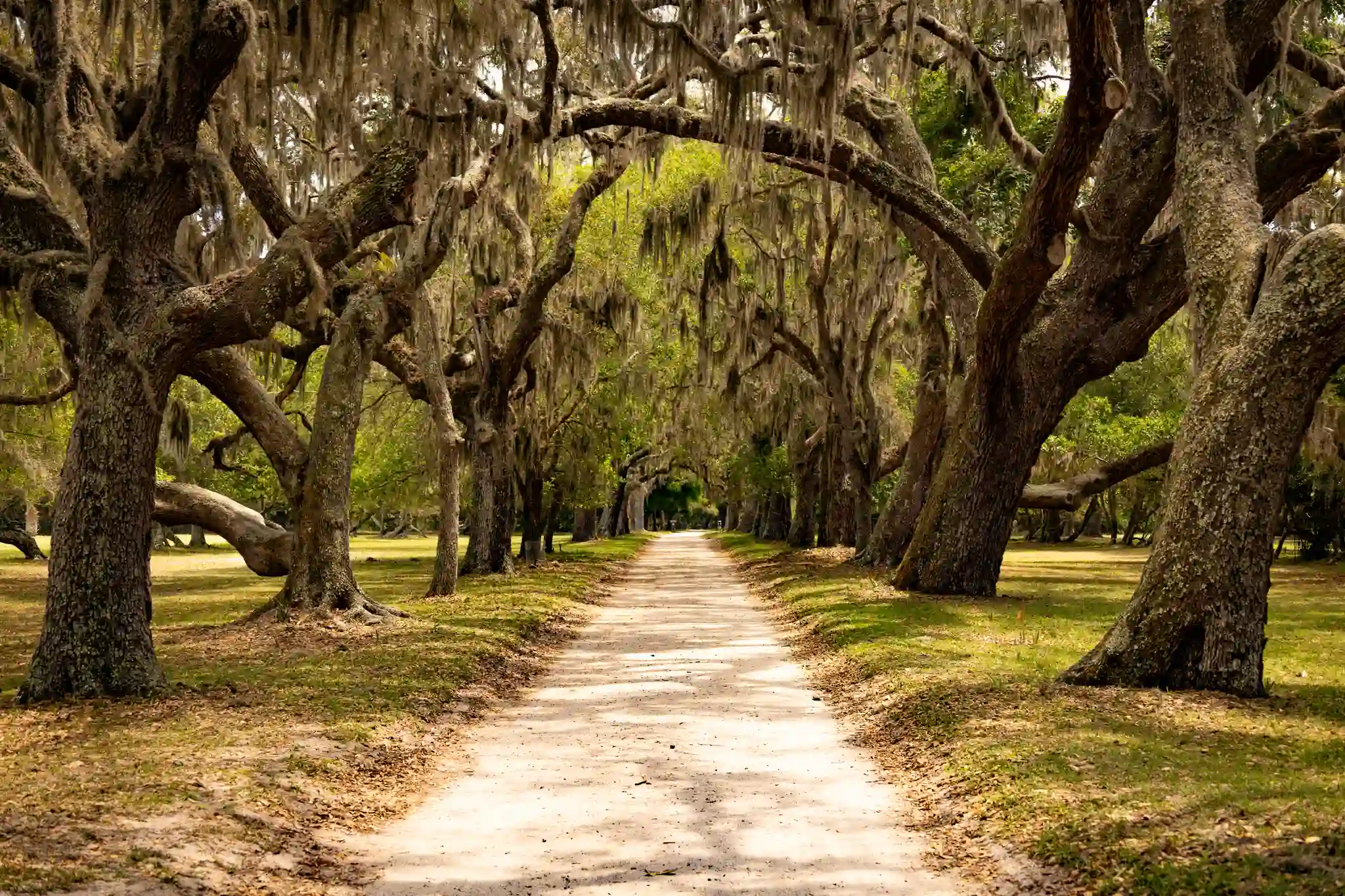
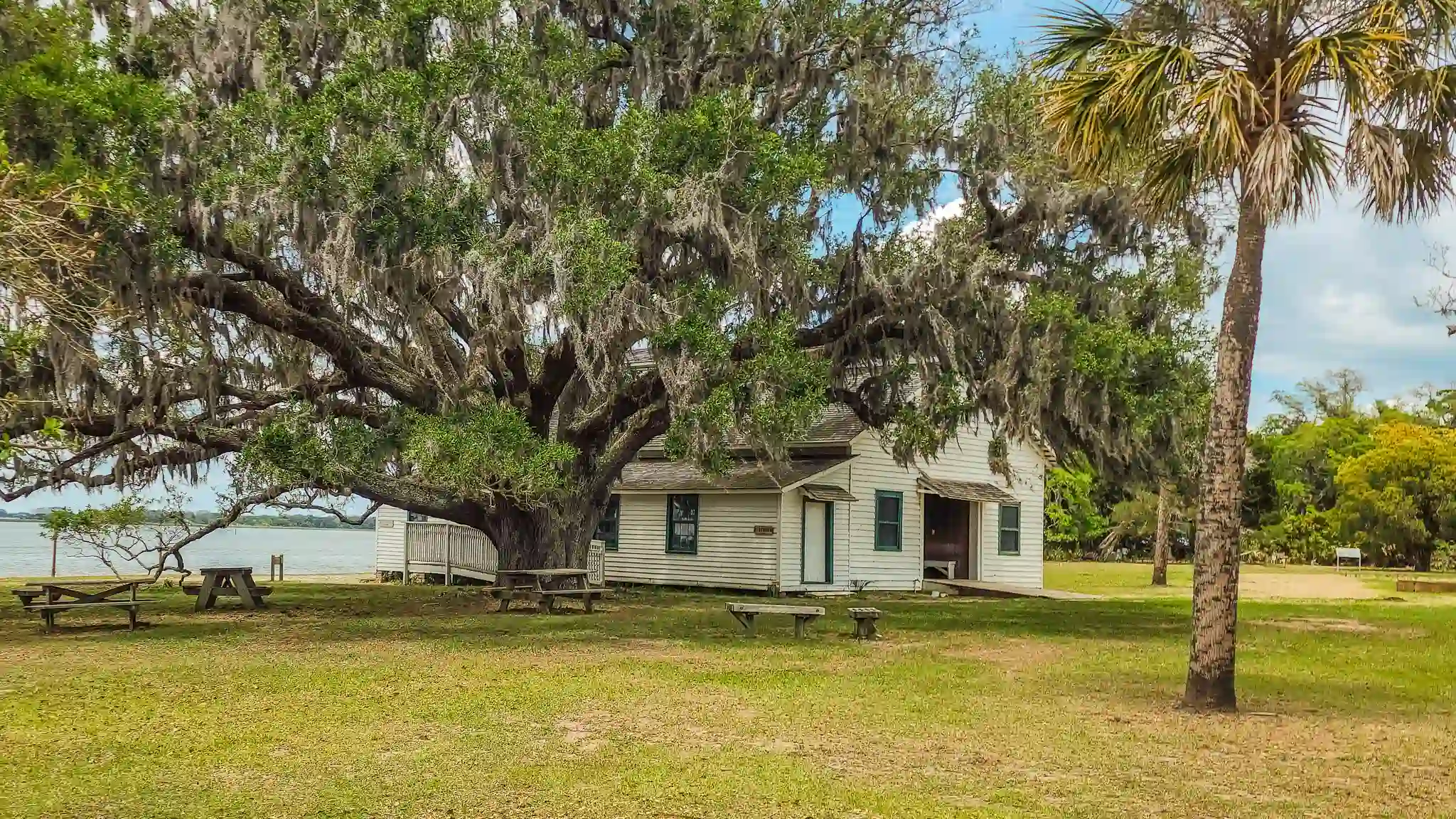
A MUST-STOP! Plan for a full day exploring the historic buildings and ruins, trails, marshes, and beaches at Cumberland Island National Seashore.
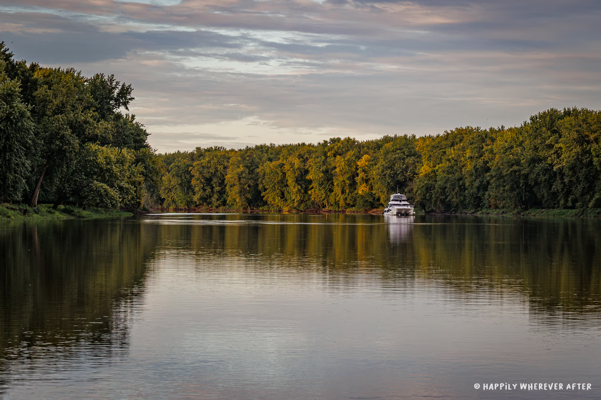
The Cumberland Island anchorage is large, with plenty of room for a lot of boats! We saw boats anchored from the Raccoon Keys all the way to the Sea Camp Dock. All the anchorages are exposed to winds from every direction except east, and it can make for a bit of a rolly time if there are high winds.
We did experience high winds in front of the Dungeness Dock where we had dropped our hook, so we moved further north to anchor in the Greyfield cut. It was a mild improvement.
There are two dinghy dock locations for the Cumberland Island anchorage; the Dungeness Dock (which we used) and the Sea Camp Dock. We had rough winds during our stay, and our dinghy got severely beat up at the dock.

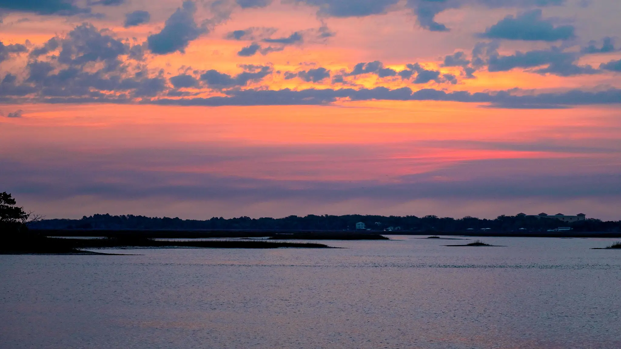
Where We’ve Spent Our Nights
13
anchor
2
Free Dock
0
mooring ball
0
Marina
Weather
63
℉
Low
72
℉
High
🌥️
Partly Sunny
🌬️
19 mph W
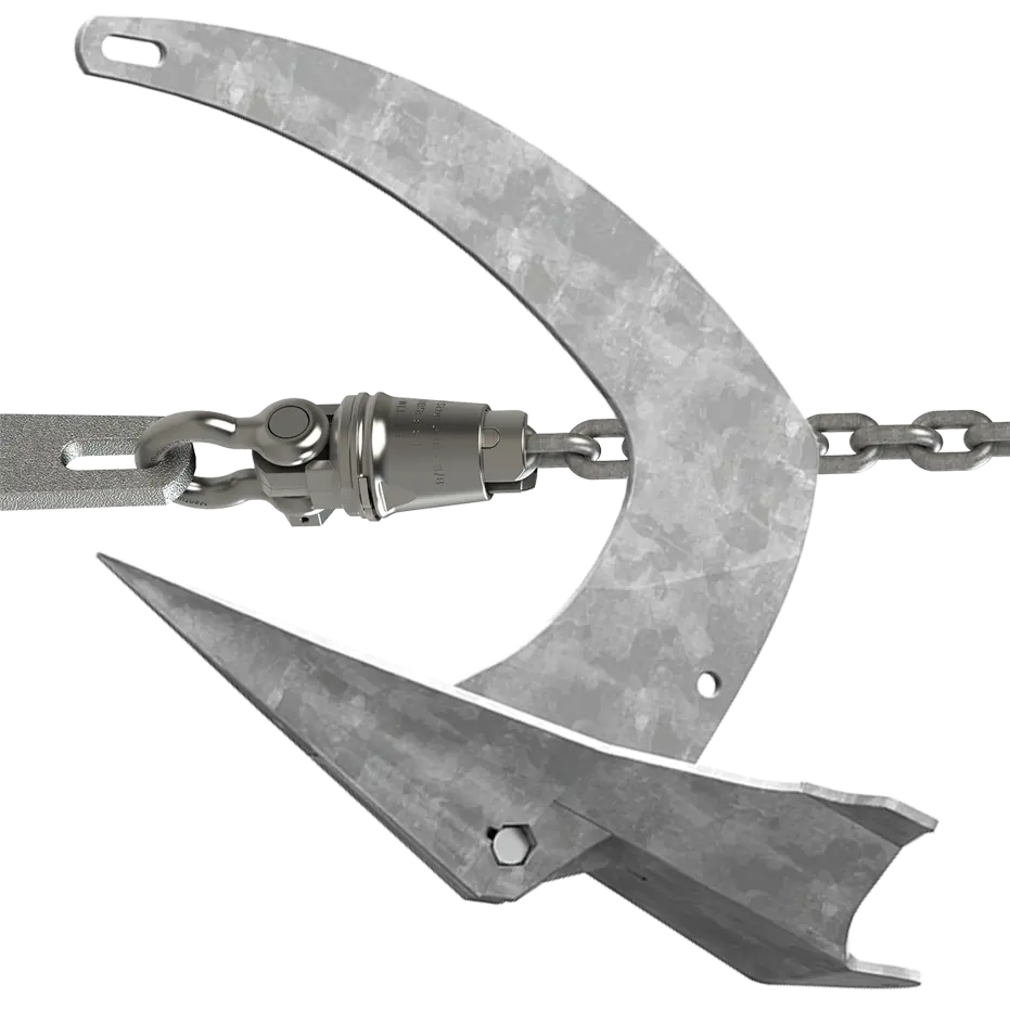
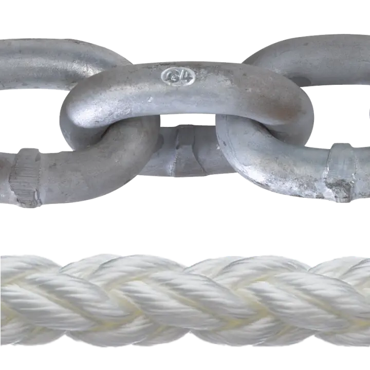
Our Ground Tackle
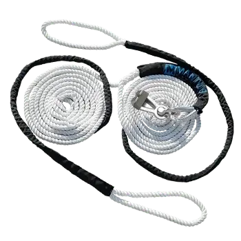
BRIDLE
Mantus Marine Universal Anchor Bridle – Small with M3 Chain Hook CH1 (for 1/4″ – 5/16″ Chain)
WINDLASS
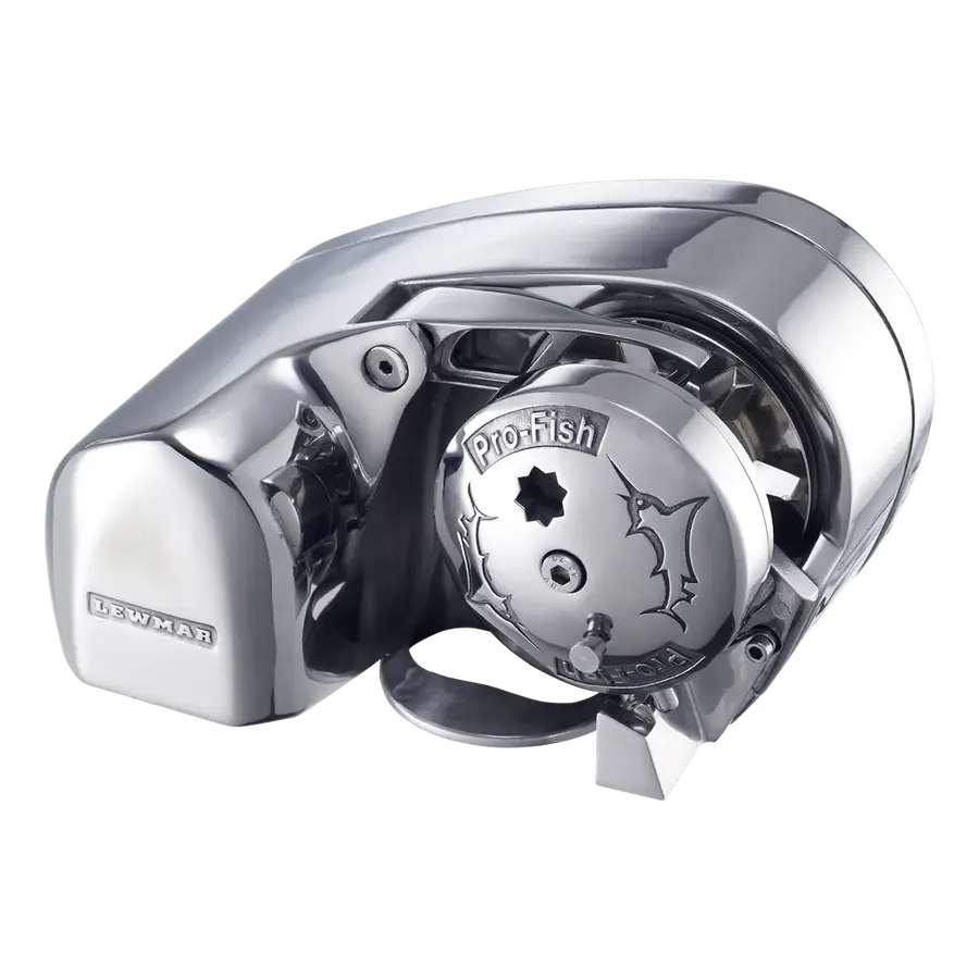
Lewmar ProFish Windlass
Leave a Reply